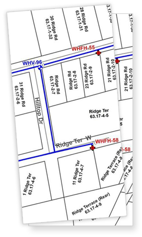
Many water and wastewater systems need better maps and a way to more efficiently manage their infrastructure. To address these needs, NYRWA now offers mapping services to our members at reduced rates.
NYRWA uses Global Positioning System (GPS) equipment to map system features such as valves, hydrants, manholes, etc. to an accuracy of less than one foot. GPS locations are then input to GIS software to enable map production and creation of a Geographic Information System (GIS). A Geographic Information System (GIS) is a method of storing, analyzing, and managing data that are linked to locations. Although GIS software can be used to make printed maps, it is much more.
If you would like more information on this member benefit for systems serving a population of less than 3,300, please contact Jamie Herman.